

This journey begins at the Bare Mountain trailhead, approx. 20 miles out of North Bend down the North Fork road.
THE NUMBERS
Elevation gain: 4000’±
Mileage: 10mi RT±
Ice cold lakes mocking you on a blazing hot day: 4
(fortunately Bear Lake is along the way, and pleasantly swimmable!)
THE HIKING

The Bare Mountain trail begins upon a very unpleasant substrate of grapefruit sized rocks, which are just a pain in the butt to walk on, especially on the way down, and especially when wet.
The second obstacle of note is the Bear Creek crossing which can be very treacherous during the melt or other high water.

The trail continues along, passing over Bear creek once again, but this time across a steadily deteriorating bridge.
After the bridge, the trail surface turns to dirt and is much more agreeable to walk upon.

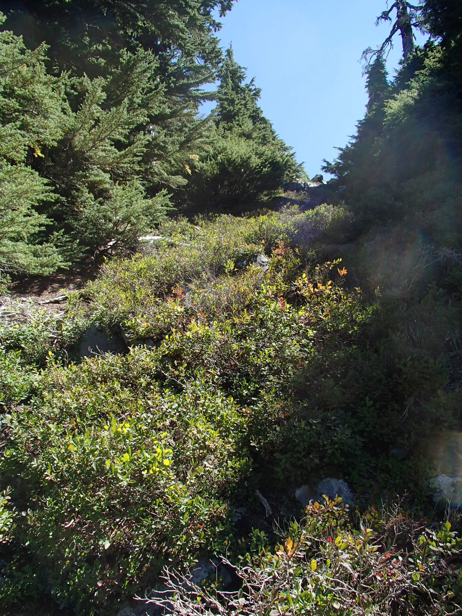
Forest gives way to open slopes of Bracken Fern and shrubbery. At about 2 miles you will reach an intersection consisting of a switchback sharply heading left at a 20˚ angle, or a rough hewn trail heading straight ahead.
Heading straight leads to Bear Basin, while the switchback leads to Bare Mountain. Go straight.

The trail leads over a few old bridges in varying states of decay, proceeds to pass some mining debris and aircraft wreckage before reaching another intersection. This time take a left.
This leads to a small open area with scattered debris. Look for a trail heading uphill into the woods. (At the time of this writing it’s marked by a purple dog poop bag)
Keep heading up, over a small bridge made of old pipe, then passing an established camp along the creek.

The trail continues uphill, becoming more rough hewn the higher you get.

You’ll break out of the woods and onto alpine shrubs and talus. Here you might notice the light colored tailing piles of a couple of mines above you. You’ll want to work your way up towards the one on the right.
Climbing the tailings pile will put you in front of an open adit. To the right of it follow the boot path heading up the hill.

Things begin to steepen up here, and in wetter years or during the melt, this area is more or less a waterfall. There is one section that has a helper rope. It comes in handy, but the user agreement clearly states that the rope accepts no responsibility should it break.
The next stop is Bear Lake.
If you intend to overnight, this isn’t a bad place to bivouac for the night.
Leaving the lake, climb up the talus toward the gap to the NW. Here you’ll get your first view of Mt.Phelps, as well as the Paradise Lakes.

Let’s call this Paradise Gap. No wait, I got a better idea! Let’s call it Behr Gap! Gotta stick with the naming consistency!
Anyway, from here gain the ridge to the east. This is the western ridge of Canoe Peak.
Standing atop the ridge will reveal Lennox Mountain, as well as the long traverse you’ll have to surmount to get there. If you keep a good pace, the average hiker can expect to get to the summit in about 2-3 hours from here.
Descend the ridge until it’s more level and head east across boulder sized talus, traversing your way towards Lennox.
Soon you’ll come to a flat meadow area, which is also your last chance for water for some time. This is also a good place to assess the terrain and make your plan.

Gaining the ridge is obvious, but where?
Much of the ridge wall is sheer cliff as you’ll see. Stay low, but on the talus. There will be a treed portion which hides a gap after you ascend loose talus and steep heather.
This will put you on the ridge, looking down upon Coney Basin.
Now head NE, staying below the ridgeline itself.
For the most part this is just more talus travel, but there is a short section in which you’ll make use of narrow meadow ledges to cross some short cliffs.

Eventually you’ll run into a deep gully. Parallel it up the talus, looking for another heather gap.
This will put you on top of the ridge, as well as give you a look at lovely Coney Lake and your quarry; Lennox Summit.
At this point just aim yourself toward the summit and enjoy a walk on top of the world through alpine meadows, heather and world class views.

You made it!
If your legs aren’t noodles by now, the hike back will seal the deal.
Good Luck and Happy trails!

